
Lakewood ZIP Codes and Their Areas
The Census Lakewood profile associates nine ZCTAs with the city. The practical area descriptions below are search leads, not legal neighborhood boundaries. The postal facility examples also show why the ZIP guide must separate delivery, Census geography, and city jurisdiction.
| ZIP or ZCTA | Practical Lakewood area lead | Post office lead | Boundary note |
|---|---|---|---|
| 80123 | Southwest or south edge | Verify each address | ZCTA can extend beyond city possibilities |
| 80127 | West or southwest edge | Verify each address | Check city and parcel |
| 80214 | North Lakewood and Edgewater area | Edgewater PO lead | Postal location is not a city line |
| 80215 | North Lakewood practical grouping | USPS assignment by address | Use exact delivery lookup |
| 80226 | Central Lakewood | Lakewood PO lead | Shared postal geography |
| 80227 | South and Bear Valley lead | Bear Valley PO in Denver | Shared with Denver postal geography |
| 80228 | West Lakewood practical grouping | USPS assignment by address | Verify municipal boundary |
| 80232 | South Lakewood practical grouping | USPS assignment by address | Verify municipal boundary |
| 80235 | Southwest edge | Verify each address | City and ZCTA may differ |
The nine-ZCTA list comes from the Census Lakewood profile. It is the coverage spine for this ZIP guide, not a claim that every ZCTA is wholly inside Lakewood.
The Census profile image belongs beside the nine-area table because ZCTAs are statistical approximations rather than delivery boundaries.
The Census ZCTA guidance gives the geographic definition used for the table.
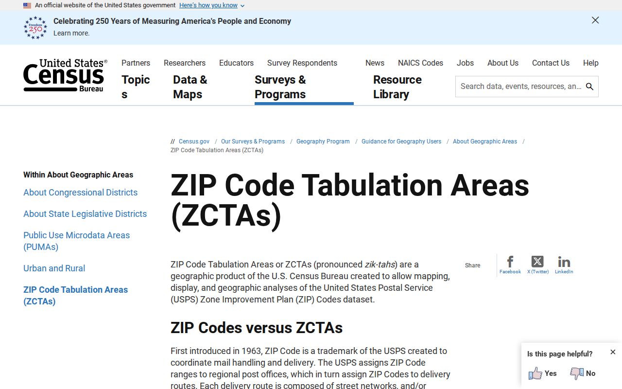
This guidance image keeps the ZIP guide grounded in the Census distinction between a ZCTA and a USPS delivery route.
Lakewood North ZIPs 80214 and 80215
North-area searches need a city check. The 80214 grouping includes a postal lead associated with Edgewater, even though the location record is not a legal map of city limits. 80215 is a practical Lakewood grouping in the research, but exact delivery and parcel context still belong to the address.
Start with USPS for one delivery point, then use Jefferson County GIS or Lakewood eGIS to inspect the parcel, ward, ZIP, and municipality fields. For a property record, use the Assessor’s address route with city and postal code together. A ZIP-only conclusion can mix Lakewood, Edgewater, or nearby county geography.
Lakewood Central ZIP 80226
80226 is the clearest central Lakewood practical grouping in the source material, and a Lakewood Post Office is listed at 10799 W Alameda Ave. The postal facility helps a resident check delivery instructions. It does not prove that every address carrying 80226 sits inside the incorporated city.
An assessor result returned under 80226 is a county property-search result with a ZIP field. It may show a parcel, owner, mailing address, and property class. It is not a USPS list or a voter roll. Keep the portal name, filter, and date in any research note.
Lakewood South ZIPs 80227 and 80232
80227 is a useful boundary example because the Bear Valley Post Office lead is in Denver. The ZIP may still serve addresses considered in a Lakewood search, while the postal city and municipal city differ. 80232 is another south-area practical grouping that requires an exact address check.
Use the USPS ZIP Code Lookup for delivery, the Census profile for ZCTA context, and county or city GIS for the parcel. The guide should say which of those questions its row answers.
Edge ZIP Codes Near Lakewood
80123 and 80127 sit in the southwest or west edge group, while 80228 and 80235 are practical west or southwest leads. The research did not locate a full post-office assignment table for all nine ZCTAs, a unique-institution ZIP, a PO-box-only Lakewood ZIP, or a ZIP realignment history. Do not fill those gaps by intuition.
Near Morrison, Arvada, Wheat Ridge, Denver, Edgewater, or unincorporated Jefferson County, compare exact city, parcel, ZIP, and postal results. The Lakewood sales-tax page confirms that ZIP areas can be shared with other municipalities.
ZIP Code, ZCTA, and City Boundary
These terms overlap in casual speech but are not interchangeable. A postal code is a USPS delivery construct. A ZCTA is a Census statistical approximation built from addresses. A municipal boundary is a city jurisdiction. A postal city name can differ from the legal municipality. Those differences matter when a record filter returns a neighboring place.
- ZIP code
- A postal routing label used for delivery and address records.
- ZIP+4
- An extended delivery code that narrows an address beyond the five-digit ZIP.
- ZCTA
- A Census approximation of ZIP geography for statistical reporting.
- Postal city
- The city name used by USPS for delivery, which may not match incorporation.
- Carrier route
- A delivery route inside postal geography, not a municipal boundary.
Census ZCTA guidance supports the distinction. The ZIP guide should preserve it in every boundary note.
ZIP Filters in Lakewood Records
Several Lakewood-area systems accept a ZIP field, but they return different record universes. Use the field table before comparing results.
| Assessor address | City and Postal Code dropdowns, plus number, direction, street, type, and unit; observed result maximum 50. |
|---|---|
| Treasurer address | Number, direction, street, type, unit, city, and postal route for tax results. |
| Lakewood eGIS | ZIP and ZIP4 fields can cross to parcel, ward, precinct, census, school, district, and organization attributes. |
| Colorado Go Vote | ZIP is one of the four required identity fields, with first name, last name, and birthday. |
| USPS lookup | Exact address-to-ZIP and postal-location verification, not a person directory. |
| Census profile | ZCTA area and population context, not a delivery or resident list. |
A postal-area search should record the city and other fields used. An empty result can reflect a required street component or an individual lookup rule, not an empty ZIP.
Lakewood Treasurer ZIP Results
The Treasurer address route is useful when a ZIP search needs a tax context. It uses number, directional, street, type, unit, city, and postal fields, then returns property rows and a cart or new-window route. That search is county property data. It is not a USPS delivery list, a Census population table, or a list of everyone connected to a ZIP.
Keep the result filter with the parcel, owner or mailing field, and current notice. If an address near Denver, Edgewater, Morrison, Arvada, Wheat Ridge, or unincorporated Jefferson County appears, check the city and parcel in GIS. The guide is most accurate when it states the portal and record class beside every output.
The Jefferson County Treasurer search is the appropriate tax route after USPS and GIS establish the address context.
Verify One Address with USPS
The USPS lookup is the final address-specific check in a ZIP workflow. Enter the complete address, review the returned ZIP and postal location, and retain the result date. USPS verifies delivery details. It does not decide whether the parcel is incorporated Lakewood, which ward contains it, or who owns or occupies it.
Pair the postal result with Jefferson County GIS, Lakewood eGIS, and the Assessor. Keep postal city, situs city, legal municipality, and mailing destination as separate fields.
The USPS address lookup is the source for the delivery step shown here.
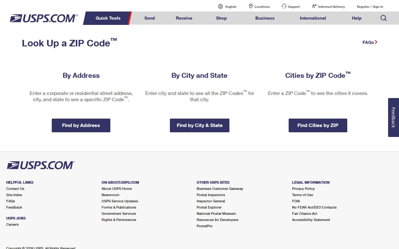
The USPS image shows why a ZIP verification needs a full address rather than a city name alone.
Find Records by Lakewood ZIP Code
A practical ZIP code directory workflow moves from area to address, then from address to the proper record keeper. It does not promise every resident in a postal area.
- Choose the ZIP or ZCTA from the nine-area table and mark whether the question is postal, Census, city, or record based.
- Verify a sample address through USPS, then compare city and parcel fields in GIS.
- Use Assessor or Treasurer with the ZIP plus street fields; keep the portal’s result limit.
- Use Go Vote only for an individual first-name, last-name, ZIP, and birthday check.
- Once the ZIP narrows to a street, use the Lakewood street directory for parcel and deed work.
Historical directories predate modern ZIP geography. Search those volumes by street, locality, township, rural route, or telephone exchange. A modern postal code cannot safely be backcast into a nineteenth-century address.
Older Lakewood Addresses Before ZIP Codes
Printed directories, deeds, tax rolls, plats, and maps used other address systems before ZIP geography. DPL city directories and Householder or Criss-Cross volumes can carry a street and locality lead. Jefferson County Archives catalogs material from 1859, and the county was established in 1861. A historical address may need a legal description, subdivision, block, lot, township, or newspaper clue before it can be joined to a current parcel.
The county’s 1952 replacement of wooden street signs with metal signs is a useful map clue, but it is not a verified citywide renumbering date. Keep the old wording alongside the modern address and ask a library or archive for the dated map or directory front matter.
For a family or place study, preserve the pre-ZIP locality, street form, parcel bridge, and modern verification as four separate notes.
For the historical bridge, save the volume title, edition year, page, street wording, locality, and any legal-description clue. Put the modern postal result in a separate verification field rather than rewriting the older address.
Boundary check. A ZIP, ZCTA, postal city, and incorporated Lakewood boundary can disagree. Verify the exact address before treating a ZIP-filtered record as a Lakewood record.