
What Lakewood Neighbors Records Show
A block lookup is a small map study. Select one address, identify the surrounding parcel geometry, and label each result by source and date. The table separates property, map, civic, historical, and postal context. It does not promise a list of every person near an address.
| Source | What It Shows About a Block | Access |
|---|---|---|
| Jeffco Assessor parcel | PIN/AIN, owner, situs, mailing, property class, building or sales lead | Public property portal |
| Jeffco jMap | Parcels, addresses, streets, zoning, hazards, planning, parks, and adjacent geometry | Public viewer and downloads |
| Lakewood eGIS | Address, parcel, block, lot, ZIP, ward, census, school, district, and association fields | Public map or REST layer |
| My Neighborhood | Parks, projects, council and elected-member context, utilities, and map results | Address search |
| Organization maps | Registered neighborhood, business, and homeowners association areas | Public map; member roster not located |
| Colorado Go Vote | Individual registration result when first name, last name, ZIP, and birthday are known | Individual lookup only |
| DPL and JCPL history | Older block, church, directory, newspaper, and place clues | Library or archive route |
The most useful result is often an identifier, such as a parcel number, subdivision, block, lot, ward, or map layer. Use that identifier to ask the right office a narrow follow-up question.
Lakewood Neighbor Parcel Geometry
Begin with the Lakewood eGIS display service or Jeffco jMap. Search or select the starting address, identify the parcel layer, and inspect adjacent shapes. The eGIS address layer can support query, distance, order, statistics, pagination, and JSON or GeoJSON output. Exact consumer map control labels were not fully located, so retain the service URL, layer, query, and date.
Save the map extent and selected layer before comparing two parcels. A map line is not a survey. An adjacent geometry can cross a block, road, alley, or right-of-way and still say nothing about the people who use the land.
The eGIS service capture shows the parcel and address layers that support a block lookup.
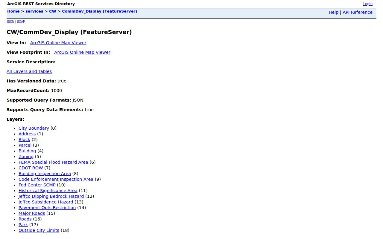
Use the image as a map-layer reference, then verify each selected parcel in the county property portal.
Lakewood Neighbor Parcel Identifiers
For each surrounding parcel, capture the map or service date, PIN, AIN or schedule, situs address, unit, subdivision, block, lot, reception clue, ward, precinct, Census tract, ZIP, zoning, and association fields when public. The target parcel and adjacent parcel should be recorded in separate rows. Keep a source note beside any owner or mailing field.
| Map date | Layer or service date, plus map extent and selected layer. |
|---|---|
| Parcel identity | PIN, AIN, schedule, parcel primary key, and reception field if displayed. |
| Address | Situs street, unit, city, state, ZIP, and ZIP4. |
| Land bridge | Subdivision, block, lot, legal description, and tax area. |
| Geography | Ward, precinct, Census block or tract, school, district, and association attribute. |
An adjacent parcel is not automatically a neighbor in the household sense. Define the geography first: next parcel, same block, nearby radius, same association area, same ZIP, or same ward. The word neighbors needs that boundary.
Lakewood Neighbor Owner and Situs Fields
The parcel can display a physical situs and a different assessor mailing address. The owner field is another attribute. That three-part split is one of the most important quirks in a block search. A mailing address may belong to an entity or representative. A situs is the parcel location. Neither field alone proves who occupies the building.
Use the Assessor for a property lead, then the Recorder for a legal instrument. Do not infer a household from a mailing destination or a parcel map. If the goal is historical, switch to directories, census, tax, photograph, and archive sources instead of using a current owner field as a past-household claim.
- Owner
- A property record attribute that may name a person, entity, or legal interest holder.
- Situs
- The physical parcel address shown in the property system.
- Mailing
- The destination used for tax or assessor correspondence.
- Association field
- A map or address attribute that may indicate an area relationship, not membership.
Lakewood Neighbor Wards and Geography
Lakewood eGIS can join an address to ward, precinct, Census block or tract, school, district, ZIP, sewer or water, zoning, inspection, code, and organization attributes. The city’s Maps page adds five wards, zoning, historic zoning, an atlas and address tool, and community organization maps. These layers explain place and service geography. They are not resident directories.
Lakewood My Neighborhood takes an address and returns parks, projects, council and elected-member context, utility providers, and map results. It does not expose a private household list. A postal ZIP can differ from a ward or school district, so keep each geography label in its own field.
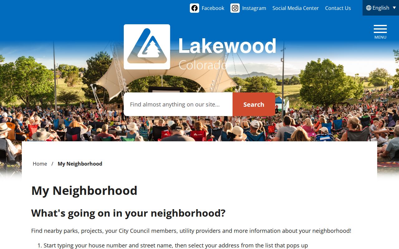
The My Neighborhood image adds civic context around the parcel without changing the privacy boundary.
Lakewood Neighbor Organization Maps
Lakewood’s registered community organization maps show areas for neighborhood, business, and homeowners organizations. The eGIS address layer includes BusAssoc, CitizOrg, HistOrg, HOAssoc, and NeighOrg attributes. The research did not locate a complete public member roster, dues list, attendance list, or current association contact list. Treat the map as an area lead.
| Organization or layer | Useful contact or history clue | What it does not establish |
|---|---|---|
| Registered Community Organization Maps | Area boundary and map lead | Individual membership or household list |
| eGIS association fields | Address-level organization attribute when displayed | Field date, active membership, or complete roster |
| Lakewood Historical Society | Local-history newsletters, meetings, and contact | Government resident directory |
| Green Mountain Presbyterian register | 1893 to 1900 and revised or transferred 1904 people-history lead | Current congregation membership |
The registered organization map is the source for the area layer.
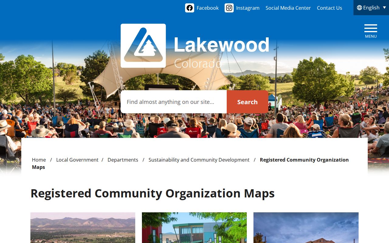
The organization-map image shows why a boundary or contact lead should not be rewritten as a membership claim.
Lakewood Voter Lookup by Block
Colorado Go Vote is an individual lookup. It requires First, Last, ZIP, and Birthday and gives an individual registration or ballot-status lead. A public block roster was not observed. Full voter-file products go through the Colorado Secretary of State with requestor fields, product codes, delivery, payment, and election-purpose limits. Protected addresses, ACP records, some phone fields, and other confidential data can be withheld.
A missing result is not proof that no one is registered. It may reflect exact spelling, a former ZIP, an under-18 record, or an intentional confidentiality protection. Do not query a broad eGIS or voter product to create a named block list.
Lakewood Neighbor History Clues
Block history can come from DPL directories and Criss-Cross, JCPL newspapers and obituary databases, Heritage photographs and oral histories, Jeffco Archives, State Archives, and the Green Mountain Presbyterian register. DPL’s directory and house-history material is Denver-centric, so each locality label matters. Heritage Lakewood’s research room and CatalogAccess initiative can add a structure or person caption.
These sources are strongest for a dated community or place question. A church register can show membership or communicant activity. A newspaper can record an event. A directory can show a name near an address. None should be converted into a current block roster.
Lakewood Neighbor Tool Comparison
Official Lakewood and Jefferson County sources identify a custodian, field name, service date, and access rule. A commercial neighbor tool may combine public filings, licensed data, self-reported details, and inferred matches. Its accuracy, correction process, and pricing can vary. The category is not a substitute for the Assessor, GIS, Recorder, or a protected-record rule.
| Official parcel or GIS | Source agency, property or map field, service date, and defined access notice. |
|---|---|
| Historical library source | Volume, page, locality, collection, and publication date. |
| Commercial tool category | Compiled matches that require independent checking and do not override privacy limits. |
A block result should stop at the public, documented field. It should not use a compiled match to fill a missing household or protected address.
Lakewood Neighbor Privacy Boundaries
Lakewood Utility Billing accepts address, lot, plan, or PremiseId inputs for account work, but customer identity and usage are not a public block record. Private association, church, school, alumni, and club rosters were not located as public sources. Do not request or publish them through a map workflow.
Official parcel and GIS sources are not the same as commercial neighbor tools. Official systems identify the custodian, field, date, and access rule. Commercial tools may compile public filings, licensed data, self-reported material, and inferred matches, with varying accuracy and correction routes. Neither category grants a right to expose protected or private household data.
Lakewood Neighbor Block Layer Requests
If a boundary, organization attribute, permit field, or address crosswalk is missing, ask the correct custodian for a narrow record. A Lakewood CORA request can name the map layer, property, date range, association boundary, or metadata needed. A county request can name a parcel, GIS service, assessment record, or dated map. The City Clerk, county GIS staff, library reference desk, or archives can route a question.
Keep the service URL, layer number, query, map extent, access date, displayed field definition, and response. If an owner field is public, the request does not make it proof of occupancy. If a field is protected, do not use an old source to reconstruct it.
Lawful use. Lakewood neighbors research should support personal, civic, place, and community-history questions. Do not use parcel, map, or name data to stalk, harass, intimidate, or harm anyone.